Frequently Asked Questions
Access and highways
-
Vehicle access to the site may come from Bath Road, east of the site. Additional pedestrian and cycle access may be provided north of the site via Longfurlong Lane.
-
Traffic modelling will be undertaken as part of the Transport Assessment, which will assess the predicted impact and any required mitigations. We will share further detail when this is available through the planning process.
-
Parking will be provided in accordance with Cotswolds District Council’s guidelines, ensuring the parking needs of the development are met on site. This would be detailed and agreed at subsequent planning stages subject to outline consent.
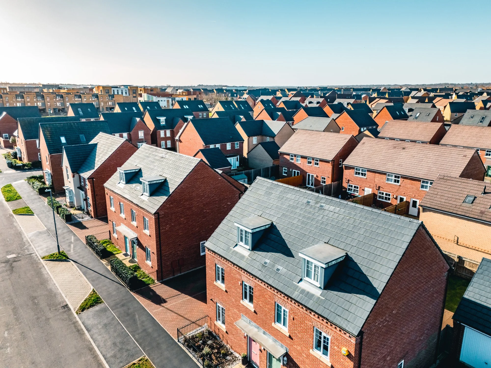
The site
-
The site currently has agricultural uses.
-
Cotswold District Council is required to maintain a five-year housing land supply (5YHLS) to meet identified housing needs. The Council is currently unable to demonstrate a full five-year supply, creating a need for sustainable and deliverable sites to come forward. Through AECOM’s assessment of potential sites in Tetbury, this site was identified as the most sustainable option when considering key environmental constraints. As such, the site presents an opportunity to deliver high-quality housing in a location that integrates well with the existing town.
The proposals
-
As this is an Outline planning application, it focuses on establishing whether development is acceptable in principle, along with access and key parameters. The detailed design and layout will be developed later and submitted for approval through a Reserved Matters application, if Outline permission is granted.
-
The mix will be determined at the Reserved Matters stage if Outline permission is granted but is expected to provide a range of housing to reflect local needs, including family houses and smaller homes.
-
Yes, a policy-compliant proportion of affordable housing will be provided which is 40%.
-
No new homes are proposed to be built in the floodplain or areas at higher risk of flooding. The southern field, which has a higher flood risk, will remain undeveloped.
Flood risk and drainage will be carefully managed through Sustainable Urban Drainage Systems (SuDS), including swales and a drainage basin. An attenuation basin is also shown on the current Framework Masterplan. These features help control surface water, reduce flood risk, and provide ecological benefits.
-
The project would deliver a net-gain for biodiversity. The southern field would remain undeveloped, providing opportunities to deliver on-site ecological enhancements. The natural green infrastructure and water bodies around the southern boundary of the site and within the southern field provide an opportunity for ecological enhancements and support existing biodiversity.